Active Alerts3
Demo scenarios
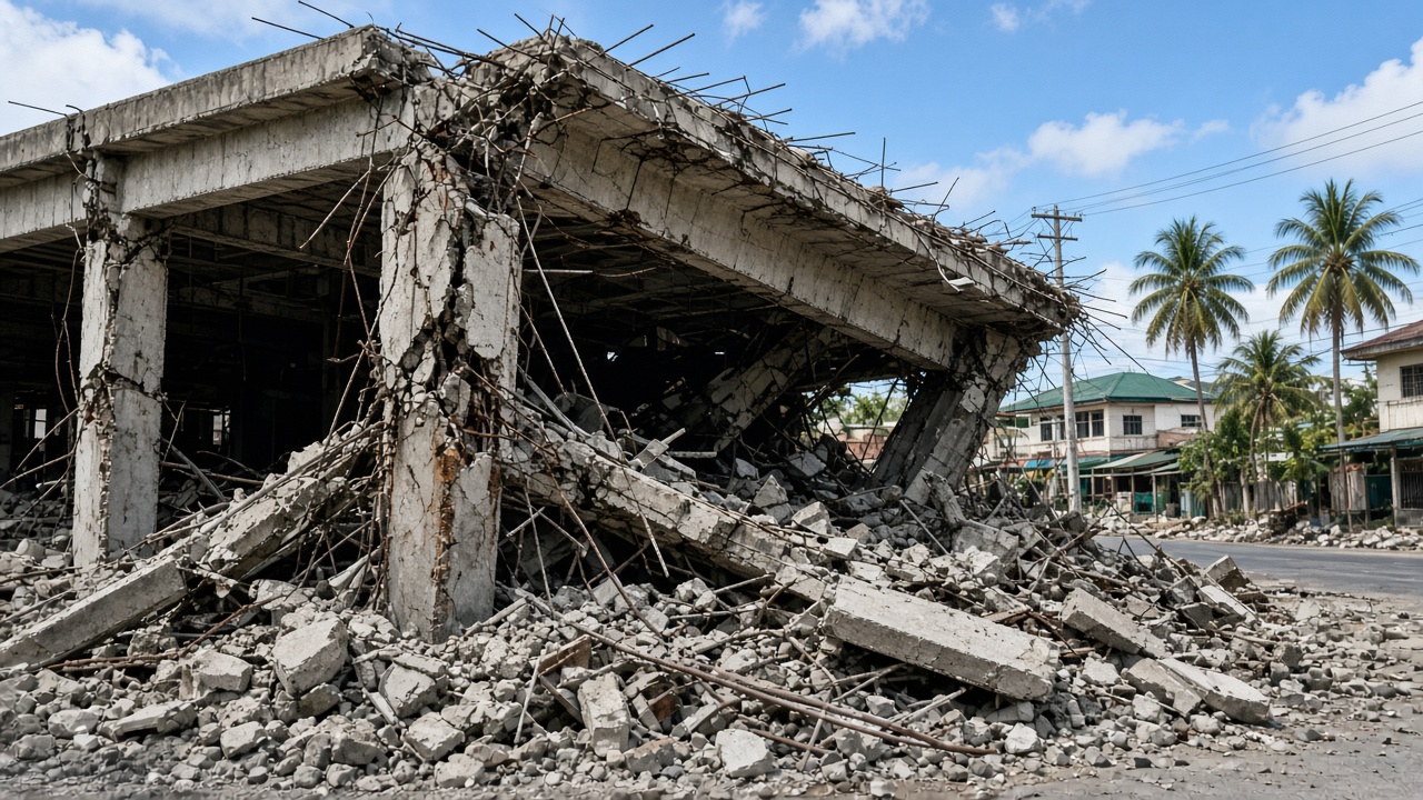
Structural Risk Detected
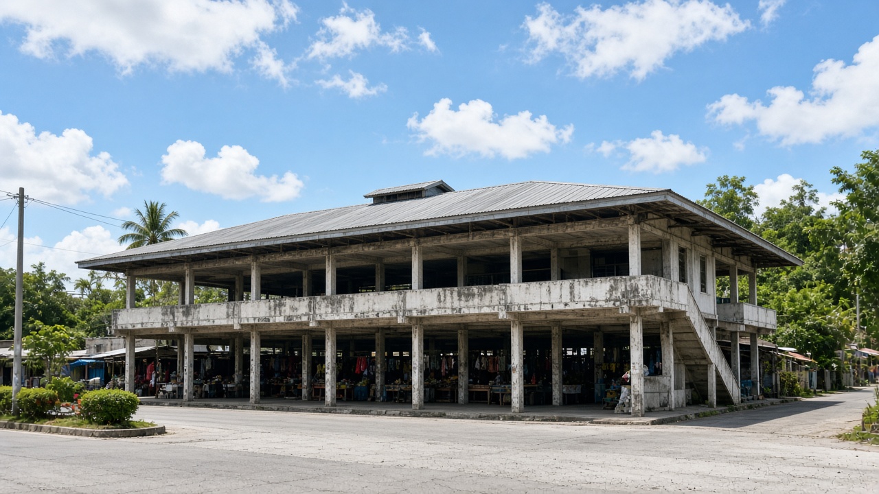
HIGHKoronadal Public Market
10 min ago
High Seismic Vulnerability
MEDIUMSurallah Public Market
25 min ago
Flood Prone Area
MEDIUMPolomolok Public Market
45 min ago
AI-assisted drone surveys, structural damage detection, and GIS risk indexing for public markets across South Cotabato. Engineers verify every finding before it becomes a priority.
Demo scenarios
Structural Risk Detected
HIGHKoronadal Public Market
10 min ago
High Seismic Vulnerability
MEDIUMSurallah Public Market
25 min ago
Flood Prone Area
MEDIUMPolomolok Public Market
45 min ago
Koronadal City vicinity
View Forecast →How assessment works
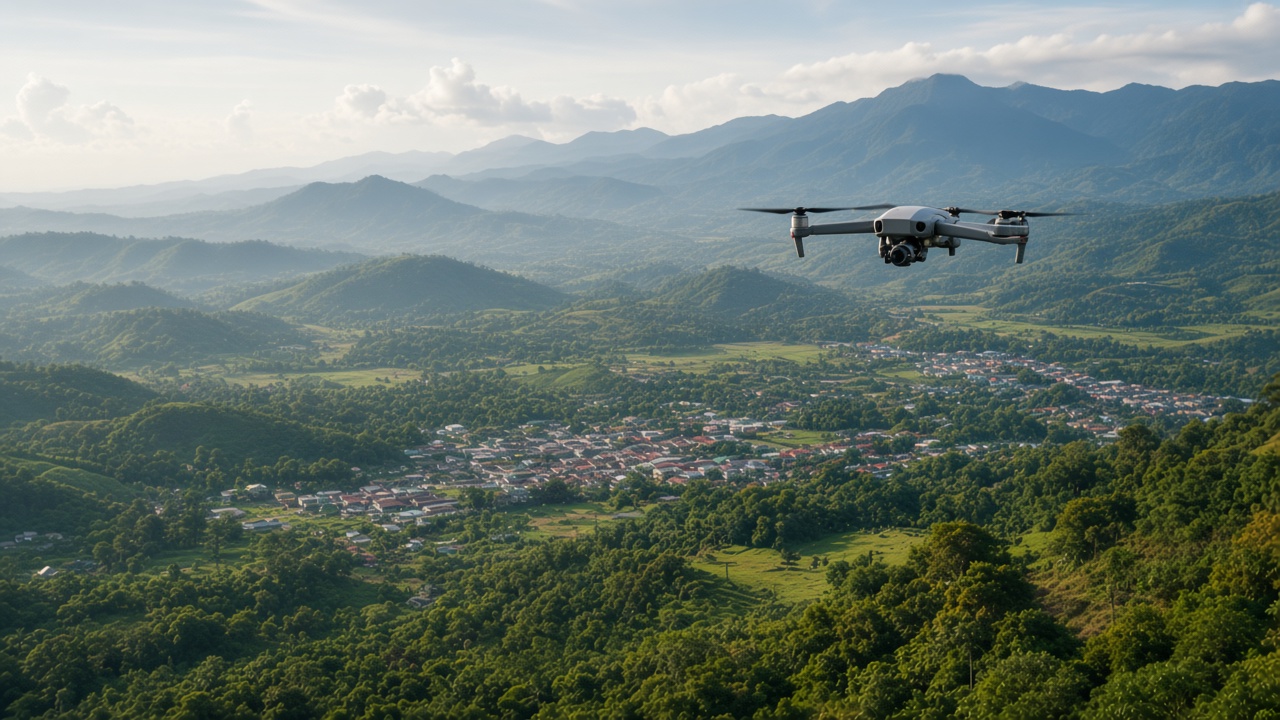
1.Drone survey
Geotagged imagery from public-market inspections.
2.Damage detection
YOLOv11 flags structural damage for engineer review.
3.GIS and SRI
Findings land on the map with a structural risk index.
4.LGU reports
Priority rankings and recommendations for South Cotabato.
Powering Smarter Decisions
Integrated technologies working together to build safer, more resilient South Cotabato.